Ready to learn?
Take the first step toward achieving your educational goals. Whether you’re preparing for exams or expanding your knowledge, getting started is just a click away. Join us today and unlock your full potential
Utkarsh Classes
Admission office
Above Arora Namkeen
Jalori Gate circle,
Jodhpur (Raj.), 342005
support@utkarsh.com
+91-9116691119, +91-9829213213
Support
Get Started


Learning Resources
Rajasthan Govt Exams
Central Govt Exams
Civil Services Exams
Nursing Exams
School Tuitions
Other State Govt Exams
Agriculture Exams
College Entrance Exams
Miscellaneous Exams

© 2026 Utkarsh Classes & Edutech Pvt. Ltd. All Rights Reserved
Add as a preferred source on Google
Updated: 13 Oct 2026
4 Min Read
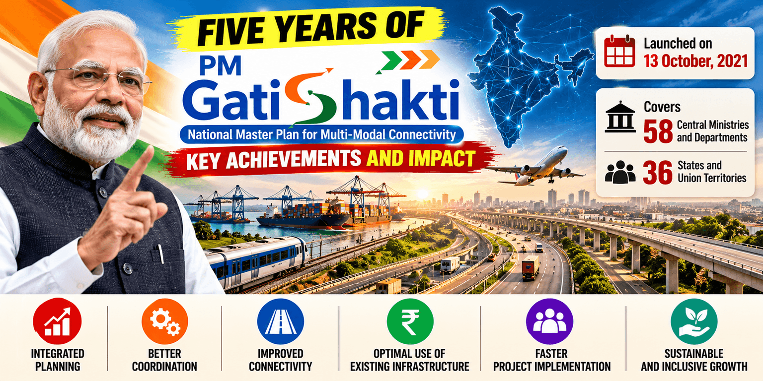
Five years of PM GatiShakti mark an important step in India's infrastructure planning. Launched on 13 October, 2021, the PM GatiShakti National Master Plan (PMGS-NMP) brings ministries, states, and infrastructure networks together on a common digital platform.
As of October 2026, the initiative covers 58 Central Ministries and Departments and all 36 States and Union Territories. Its GIS-based system helps planners coordinate projects, improve connectivity, and use existing infrastructure more efficiently.

PM GatiShakti is a national infrastructure planning framework that uses Geographic Information System (GIS) technology to integrate infrastructure and geographic data.
It supports coordinated planning across roads, railways, ports, waterways, airports, mass transport, and logistics infrastructure. By bringing different networks together, the platform helps planners identify connectivity gaps and improve project coordination.
The operational architecture of the master plan rests upon six canonical pillars designed to optimize resource allocation:
PM GatiShakti supports infrastructure planning through digital mapping, data integration, and coordinated decision-making.
|
Project or Initiative |
Key Details |
|
Network Planning Group (NPG) |
Evaluated 396 projects worth approximately ₹18.66 lakh crore as of 11 August 2026. |
|
Pune–Bengaluru Expressway |
The 699-km expressway is expected to reduce travel time by 7–8 hours. |
|
Jogighopa Multimodal Logistics Park |
Supports cargo movement through roads, rail, and inland waterways in Assam. |
|
Green Energy Corridor |
Supports the planned evacuation and grid integration of 13 GW of renewable energy. |
|
ULIP |
Connected 46 government systems across 12 Central Ministries through 142 APIs as of July 2026. |
These initiatives demonstrate how integrated planning can support transport connectivity, logistics efficiency, and infrastructure development.
Five years after its launch, PM GatiShakti has developed into a wider digital infrastructure planning ecosystem. It connects government departments, integrates geospatial data, and supports coordinated infrastructure development.
By improving project planning and identifying connectivity gaps, the initiative supports India's goal of building efficient, connected, and modern infrastructure.
About the author

Utkarsh Classes
Company
This content is prepared by the Utkarsh Classes team to present accurate, updated, and exam-relevant current affairs in a simple and reliable format.


Latest Current Affairs
Frequently asked questions

Visit Utkarsh Classes Offline Centre Near You.

Download Last 5 Years PYQs in a Single Click
FREE PYQs exam ke level aur question pattern ko samajhne ka best tareeka